Remote sensing
ONFI wishes to put technologic innovation at the service of forests. We have a team of highly skilled experts on remote sensing, able to analyse, process and produce cartographic data for the purpose of forest monitoring.
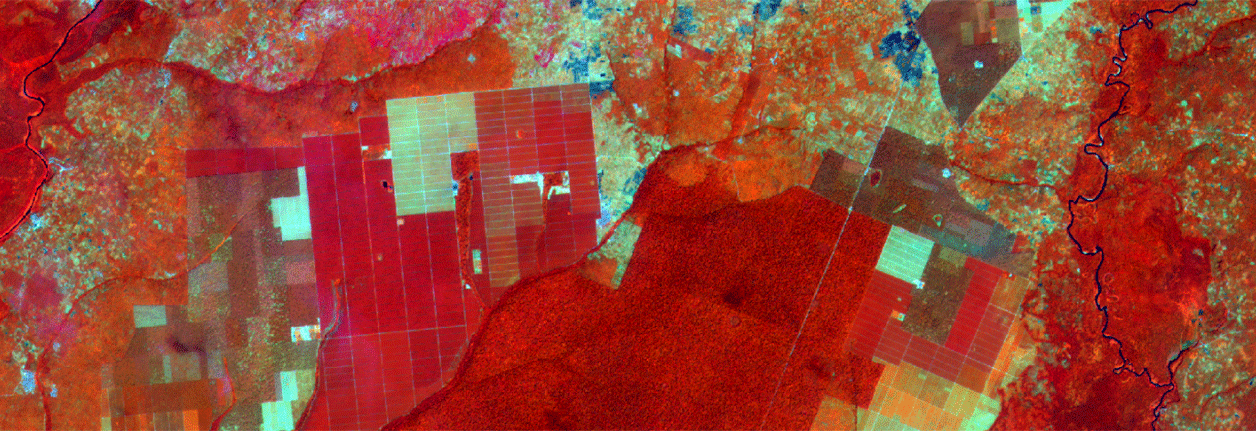
Satellite imagery for the monitoring of forests and territories
Based on state-of-the-art optical and radar imagery (Sentinel satellite imagery), the team produces maps and tools to make forest related challenges such as deforestation monitoring and other land-use changes easier to understand. These maps are used by private or public players, notably in decision-making at village, territorial or national level.
ONFI is involved in several innovative European projects such as the COPERNICUS programme, to which our team contributes by performing image photo-interpretation quality control.
Innovative and personalised decision-aiding tools
ONFI has developed ForLand, a digital decision-aiding platform at territorial scale. The platform allows modelling of different scenarios of territorial management according to environmental, social and economic parameters. ForLand uses both field data and data based on remote sensing (optical and radar imagery). Collected data are fed into the platform and analysed by the ForLand team in collaboration with territorial players. For further information on ForLand, please goto la page dédiée.
A strong attachment to research and education
Given the fact that remote sensing constantly evolves, ONFI keeps close contact with the research community. Our experts regularly attend international workshops and colloquies on remote sensing, and benefit from a large network of private and public partners. We are training experts, young researchers and other forestry players on the use of open-source software through our ONFI School programme ONFI School.