
Copernicus project – Global land high-resolution Hot Spot monitoring – Lot 2
Context
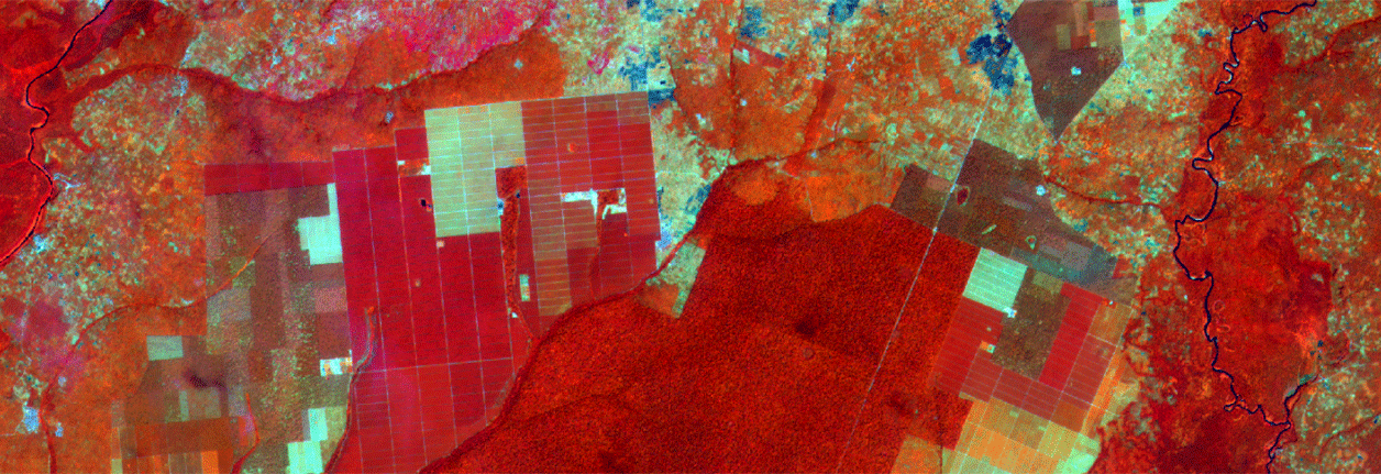
The overall objective of the Copernicus global land high resolution hot spot monitoring is to provide detailed information on land-use in specific areas of environmental interest, particularly in protected areas or biodiversity and land degradation hot spots. For these environmental interest areas, maps of land-use and maps of changes in land cover, essentially gathered from satellite time-series data Sentinel-2 and Landsat, will ultimately be made available to users across the world. Before these data are released, a complete and independent assessment of the exactness and validation of all the products of the thematic map is carried out, and this is the role of Lot2. The validation procedure is carried out in compliance with the Committee on Earth Observation Satellites´ (CEOS) data calibration and validation requirements.
Principaux objectifs et contributions d’ONFI
ONFI participates in the same way as the other project partners on every stage of the chain of custody (except from component 1), that is to say:
Component 1: data collection
Component 2: assessment of spatial, temporal and logical consistency of cartographic products. To this end we shall:
- determine the exactness of the position on the map compared to reference points,
- assess the validity of data in comparison to temporal requirements, and finally,
- perform logical consistency of data (topology, logical relationships…).
Component 3: Qualitative precision assessment is carried out by way of systematic visual inspection of land cover and maps of land-use changes.
Mismatches are documented in terms of type of error.
Component 4: Map precision is assessed quantitatively. The chosen approach is stratified random sampling, based on inclusion probabilities, providing information for producer precision and user precision.
Some key data
Country: African continent and the Caribbean
Topics: Remote sensing, Cartography, Forest management
Since 11/2016
Budget : 650k€
Partners: IGN-FI, Joanneum Research, Space 4 environment, Eoxplore, Gisbox
Customer: JRC (Joint Research Centre)
Sponsor: JRC
For further information
Référent ONFI : Anne-Cécile Capel (ac.capel@onfinternational.com)