
Study of land-use and future strategic options for spatial planning in Togo
Context
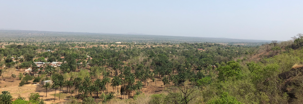
Analysis of land-use in Togo between 1975 and 2010 estimates the forest loss to almost 33%. During the same period, farmland has increased by more than 20%. Land-use changes are particularly significant in the northern region, notably in the ecoregion of dry Sudanian savanna and the Oti lowlands. Aiming to reduce the rate of deforestation and to slow down the conversion of forests into farmland, Togolese authorities have initiated the elaboration of a national REDD+ strategy as a preliminary phase for the REDD+ preparation process. This process has received funds from partners such as the Forest Carbon Partnership Facility (FCPF) and the German government (GIZ).
In view of more updated information to power the national REDD+ strategy, the Togolese Ministry of Environment and Forest Resource (MERF), through the National coordination unit for the support of REDD+ Preparation (P-REDD+), has ordered a series of studies. The study of land-use and future strategic options for spatial planning is one of these studies. For its execution, ONFI will base the study
On two analytic pillars: quantitative and qualitative analysis.
- Qualitative analysis, based on an inclusive and participative approach, through a stakeholder consultation process (public administration, organisations from the civil society, traditional leaders, etc.). This consultation process has been carried out through individual interviews and discussion groups involving regional stakeholders.
- Quantitative analysis, performed by way of a multisectoral and multidisciplinary approach, using satellite data covering the whole territory at three distinct dates, i.e. 2005, 2013 and 2017.
Results and impacts
Aggregate studies have provided for:
- Detailed nomenclature of land-use in the context of REDD+ in Togo;
- Analysis of the dynamics of land-use over the past 15 years in the country´s different ecoregions;
- Main evolution tendencies and challenges of land-use in Togo for the next 15 years while taking into account the parameters impacting this evolution;
- Updated maps of land-use in Togo;
- Multi-player options for strategic planning of land-use in Togo.
This study was an important contribution to the draft of the REDD+ national strategy.
Some key data
Country: Togo
Topics: Spatial planning, Remote sensing, REDD+
06/2017 – 04/2018
Partners: LGE, CN-REDD Togo, MERF
Sponsors: FCPF, GIZ
For further informations
Référent ONFI : Anoumou Kemavo (anoumou.kemavo@onfinternational.com)