Geomatics and geospatial intelligence
Our experts leverage technological innovation for forests and territories to support their managers and operators towards more transparent, agile, and efficient management. This positioning makes ONF International a trusted partner for companies seeking to secure and enhance their CSR strategies, as well as for public institutions looking for effective tools for territorial management.
Specialists in automating geographic and geospatial analysis, we design robust and scalable technological solutions, based on a deep understanding of our partners’ challenges, strategic objectives, and operational constraints, directly oriented towards decision-making and action.
Our teams develop and integrate tools covering the entire spatial data value chain, combining cutting-edge technologies with solid field experience to inform strategic choices, guide operational actions, and measure impacts over time.
With ONF International, choose a customised, flexible MRV system tailored for optimal monitoring.
Mapping
Some flagship projects

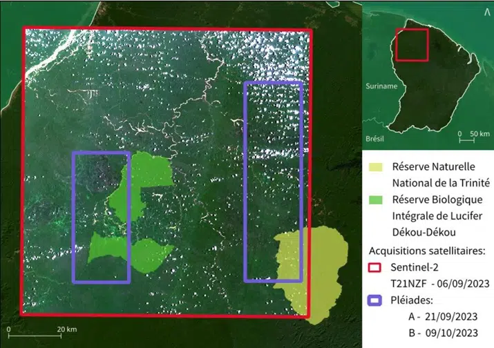
Central America and the Caribbean
Assessing mangrove carbon: an operational method for Haiti
Development of a simple and reproducible methodology for measuring CO₂ storage in mangroves in Haiti, tested in the field and accompanied by training for MPA managers.
See the projectOur Areas of Intervention
- Multi-sensor Earth observation (satellite, drone, radar, LiDAR): analysis and monitoring of forest dynamics at multiple scales.
- Artificial intelligence applied to forests: automatic detection and analysis of deforestation, degradation, and land-use changes.
- Strategic mapping and decision support: maps and spatial indicators to guide public policies and forestry projects.
- Monitoring deforestation and land-use changes: identifying pressures and supporting decisions for sustainable management.
- Analysis of extreme climate events impacts: assessing the effects of climate hazards to adapt management and restoration strategies.
- Interactive mapping platforms: web tools to visualise, analyse, and share spatial data.
- MRV systems: reliable tracking of carbon emissions and removals to ensure data integrity and support climate commitments.
- Open-source solutions and institutional partnerships: shared and open tools for sustainable and transparent solutions.
Let’s choose the best tools together for monitoring your project!