Forland: Monitoring deforestation and encroachment on forests in Ghana

Forest Management Remote sensing and artificial intelligence

  • Africa
  • Ghana

ONF International • 2021

The Ghanaian company B‑BOVID, which specialises in palm oil production, aims to enhance the sustainability of its supply chain in order to achieve RSPO certification.

To address these challenges, ONF International has been commissioned to develop a comprehensive deforestation monitoring system in the supply areas, including mapping, risk analysis, a digital platform and training for local teams.


Activities carried out

ONF International has developed a comprehensive deforestation monitoring system for B‑BOVID:

  • Establishment of a forest cover monitoring system in supply areas.
  • Organisation of a workshop with stakeholders to define the key deforestation issues.
  • Production of a baseline land-use map (2020): HCS/HCV forests, oil palm plantations, others.
  • Development of a deforestation risk map based on recent trends.
  • Proposal of a monitoring plan including operational indicators.
  • Development of a digital platform, FORLAND, for monitoring and visualising data.
  • Training for the client on how to use the tool and on best practices for monitoring.

3

Mapped forest classes

1

Advanced monitoring platform

Project details

The project involves developing a comprehensive deforestation monitoring system for B-BOVID to ensure a secure supply of palm oil and meet the requirements of RSPO certification.

The work includes mapping forest cover, creating a baseline land-use map (2020), analysing deforestation trends, organising a multi-stakeholder workshop, defining a monitoring plan and developing a digital platform called FORLAND for data visualisation and management.

@ ONF International

Forland BBOVID Ghana

@ ONF International

Map of the BBOVID Ghana project area

@ ONF International

Charts tracking the indicators of the BBOVID project in Ghana

@ ONF International

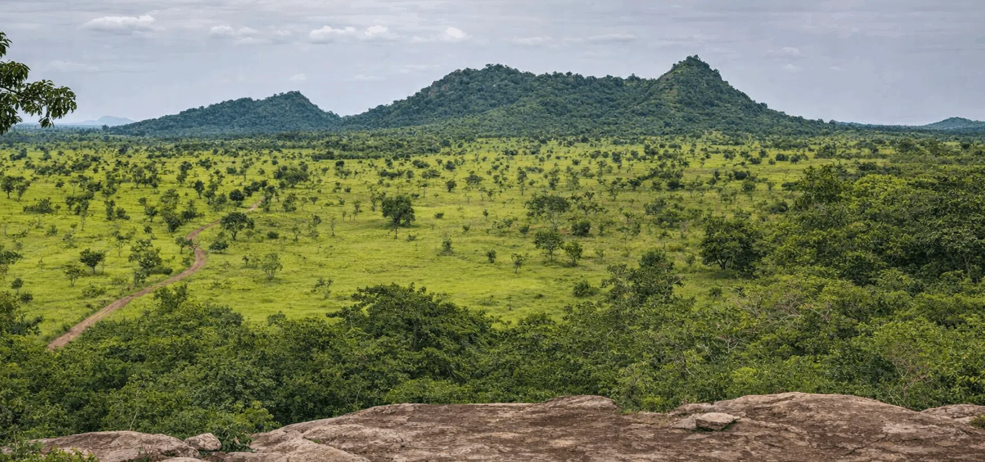
Project team on a mission in Ghana

1

Initial assessment: Analysis of supply areas and scoping of requirements for monitoring deforestation and RSPO compliance.

2

Monitoring system: Implementation of a remote sensing system to monitor forest cover in production areas

3

Mapping: Production of the 2020 land-use map and the deforestation risk map.

4

Stakeholder workshop: Organisation of a multi-stakeholder workshop to discuss key issues, methods and initial findings.

5

FORLAND Platform: Development of a digital tool for visualising, analysing and managing monitoring data

6

Monitoring plan: Defining indicators and establishing an operational framework to monitor the expansion of plantations.

7

Training: Capacity building for B-BOVID in the use of the platform and monitoring tools.

Expected results

  • Production of a baseline land-use map (2020) including HCS/HCV forests, oil palm plantations and other land uses.
  • Development of a deforestation risk map based on an analysis of recent trends.
  • Implementation of an operational system for monitoring forest cover in supply areas.
  • Development of a digital FORLAND platform for data visualisation, analysis and management.
  • Capacity building for the client through dedicated training on the use of the tool.
  • Improved monitoring of plantation expansion and compliance with ‘zero deforestation’ commitments in preparation for RSPO certification.


Budget
60 000 €
Beneficiaries
The technical teams at B‑BOVID
Donor
Moringa Partnership

Other projects to discover

TerrAmaz - Amazonian Territories

South America

TerrAmaz - Amazonian Territories

TerrAmaz - Amazonian Territories is a programme that supports the development of Amazonian territories.

See the project
Fazenda São Nicolau – Forest Carbon Sink

South America

Fazenda São Nicolau – Forest Carbon Sink

The Fazenda São Nicolau is an emblematic forest restoration and sustainable management project developed by ONF International in the state of Mato Grosso, Brazil, since 1999.

See the project
Caminemos Territorios Sostenibles - Integrated rural development for peace in Guaviare

South America

Caminemos Territorios Sostenibles - Integrated rural development for peace in Guaviare

The TerrAmaz project works to sustainably improve living conditions in rural areas of the department of Guaviare through integrated territorial management and strengthened essential services.

See the project